![]()
![]()
Appendix C - Photographs of Representative Fuel Types
Representative Fuel Types
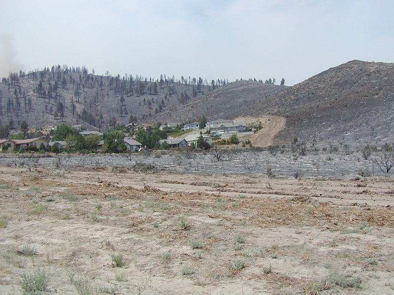
Photo 1. Recently installed shaded fuelbreaks around the Lakeview subdivision aided fire protection efforts around homes during the Waterfall fire of July 2004.
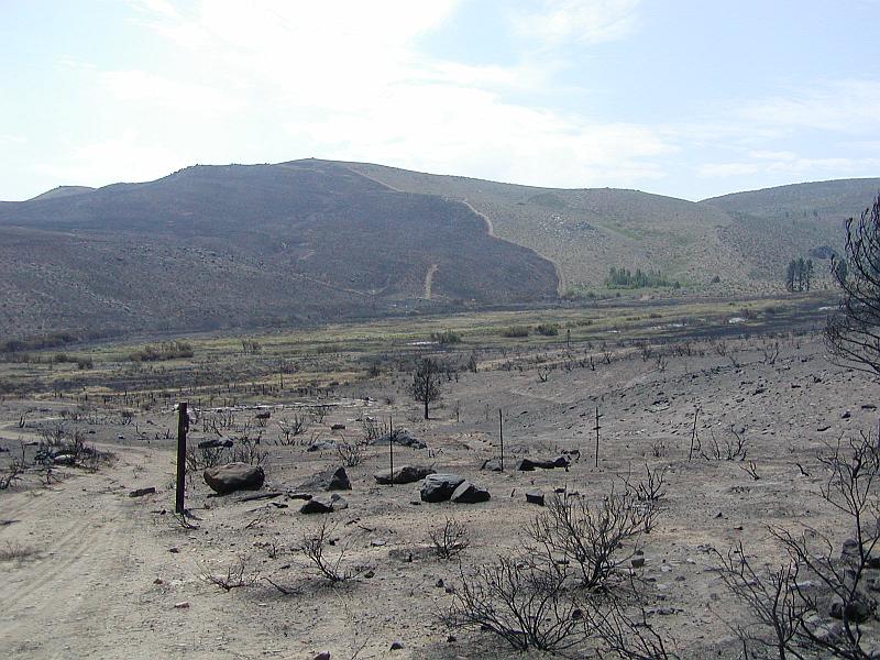
Photo 2. The Waterfall fire left areas of unburned vegetation, which will continue to present a fuel hazard, however, that hazard has been reduced due to the mosaic pattern of the remaining fuels.
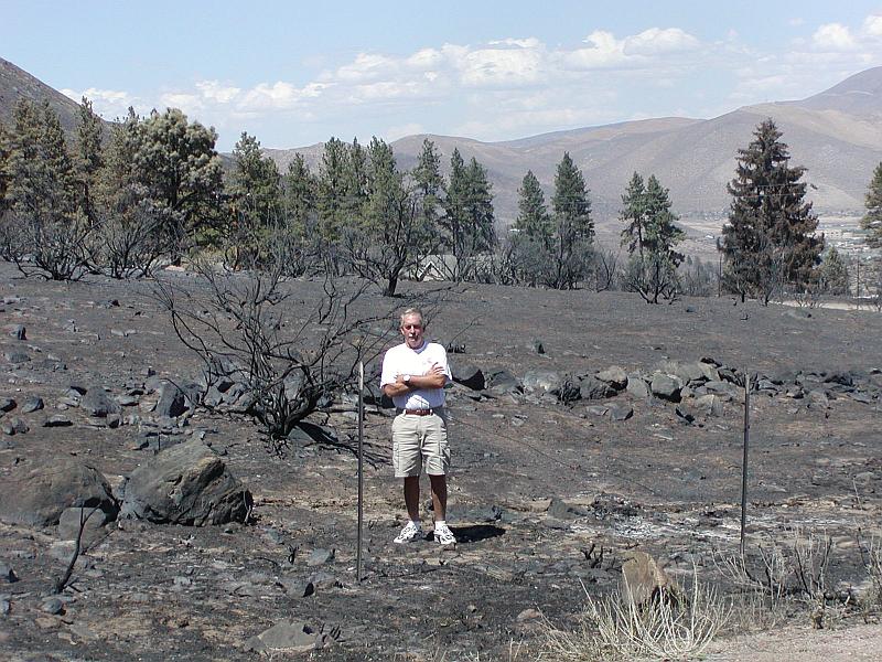
Photo 3. This photo corresponds with Carson City Fuel Hazard Photo Point 4, post Waterfall Fire. Note the almost complete combustion of sagebrush and bitterbrush fuels due to the high temperatures associated with the fire.
Photo 4. Extensive tree thinning (80 sq.ft. basal area) and brush control throughout the community of Clear Creek in conjunction with proposed fuelbreaks will reduce the likelihood of a crown fire occurring within the community. The fire scar from the 2003 Highway 50 Fire is visible on the hillside northeast of the Clear Creek community.
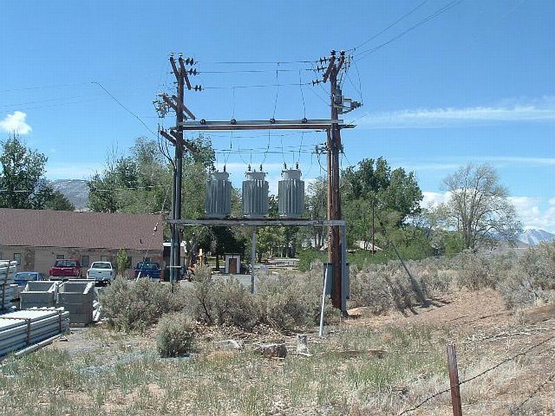
Photo 5. Brush should be removed within 30 feet of all transformer stations in Carson City and Stewart. Utility poles should also have 15 feet of vegetative clearance to reduce the likelihood of pole loss during a fire and to reduce the risk of power lines igniting adjacent vegetation.
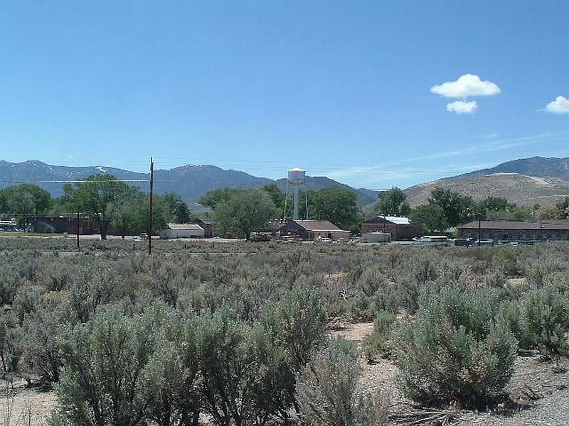
Photo 6. The community of Stewart is located south of Carson City. Four to six-foot high sagebrush and three-foot high rabbitbrush, with a cheatgrass understory, characterizes the typical vegetation in the northeast part of the Colony. Fuel loads are estimated at four tons per acre.

Photo 7. The northeast part of Stewart has fuel loading estimated at four tons per acre, composed of a dominant layer of four to five-foot high bitterbrush with desert peach and Mormon tea.