![]()
![]()
Appendix C - Photographs of Representative Fuel Types in Clark County Communities
Representative Fuel Types
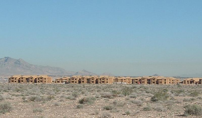
Photo 1. Wood frame homes under construction create numerous unenclosed areas where firebrands can enter and ignite. Soil disturbances associated with construction can produce excessive red brome growth in years with above normal precipitation, thus increasing the fuel hazard (Las Vegas area).
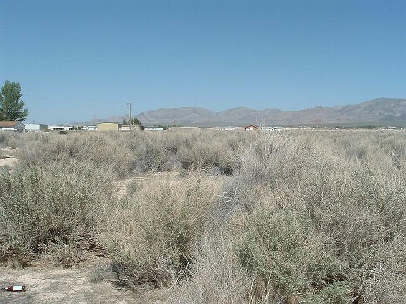
Photo 2. The Mojave Mixed Scrub Community includes four-wing saltbush, creosote bush, bursage, and shadscale. Plants in the photo are about four feet in height; fuel loading is moderate. (Sandy Valley area).
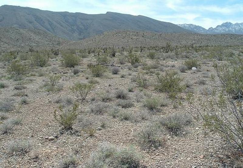
Photo 3. Typical Mojave Mixed Scrub community in coarse, shallow soils includes creosote bush and bursage with fuel loadings of less than one ton per acre. These areas were considered a low fuel hazard (North Las Vegas area).
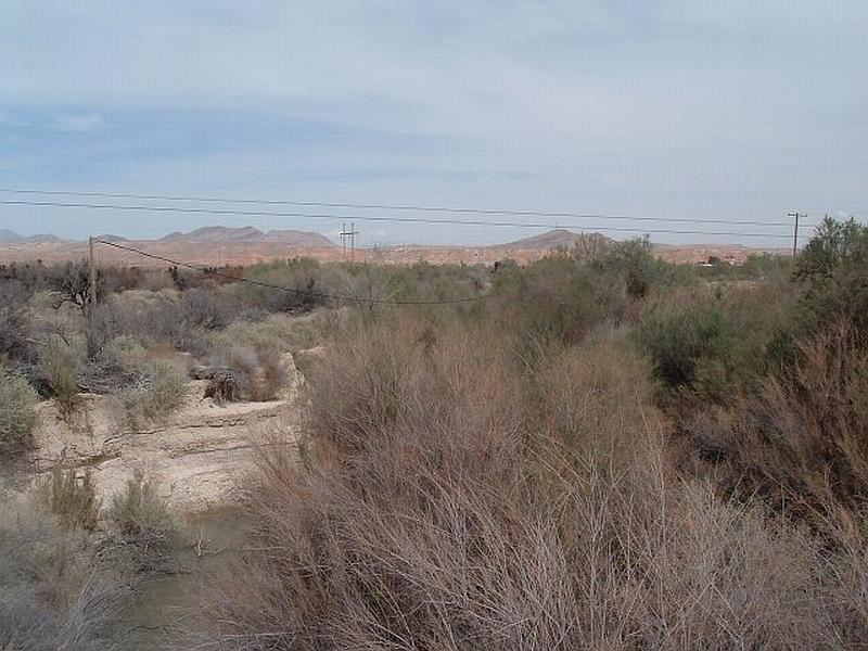
Photo 4. Riverine areas include mesquite, tamarisk, and sometimes willow and palm. Shrubs include fourwing saltbush and creosote bush. Understory can include salt grass, Russian thistle, prickly pear, and annual grasses. Fuel loading ranges between three and eight tons per acre and was considered a high fuel hazard. (Moapa, Muddy River area).
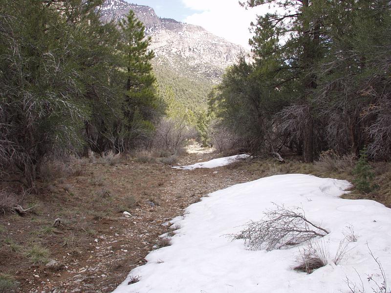
Photo 5. Dense undergrowth of mountain mahogany, Gambel’s oak, and white fir in the Spring Mountains area create ladder fuels that reach into the ponderosa pine overstory. This fuel loading and arrangement present extremely hazardous conditions for the propagation of a catastrophic wildfire (Kyle Canyon area).
Photo 6. Pinyon-juniper fuel types typically occur between the lower range of the ponderosa pine forest and the upper limit of the Mojave desert shrub community. Shrub vegetation is composed of ephedra, cliffrose, and sagebrush; annual and perennial grasses also occur. Fuel loading in dense stands can exceed ten tons per acre (Mt. Springs area).