![]()
![]()
Appendix D - Photographs of Representative Fuel Types
Representative Fuel Types
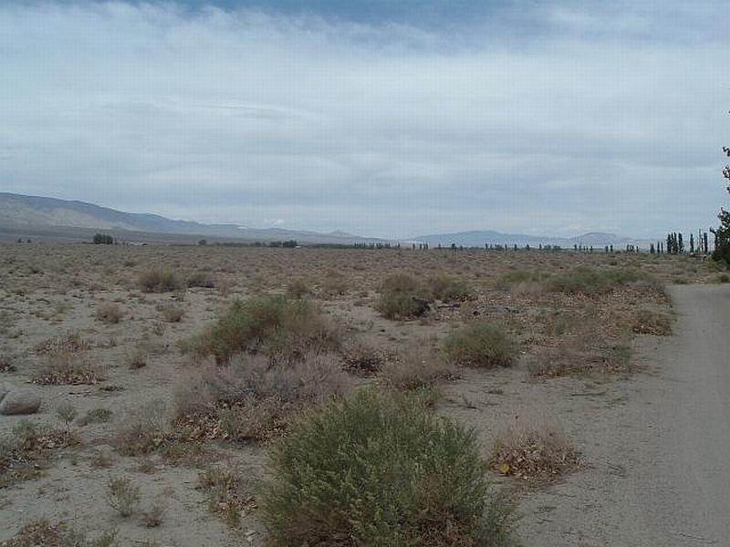
Photo 1. Dyer. Sparse shrubs around the community represent a low fuel hazard in the wildland-urban interface. The chance of a wildfire burning into the community is very slight due to the lack of horizontal continuity in the fuel bed.
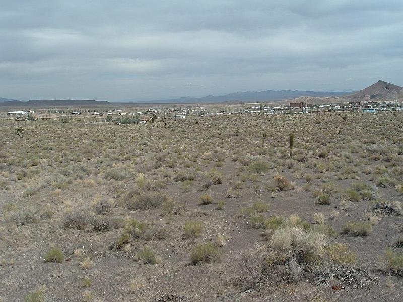
Photo 2. Goldfield. Sparse, low growing shrubs characterize a low fuel hazard in the wildland-urban interface.
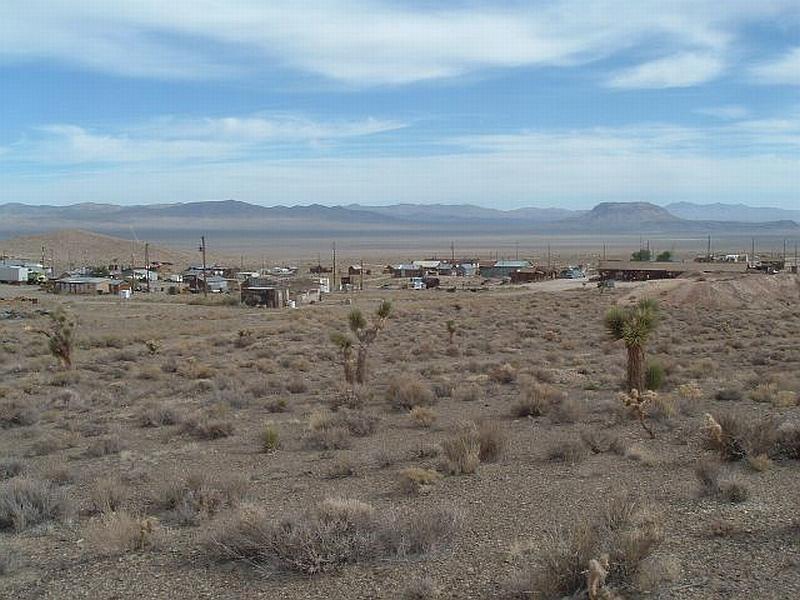
Photo 3. Gold Point. Sparse, low growing shrubs are considered a low fuel hazard in the wildland-urban interface.
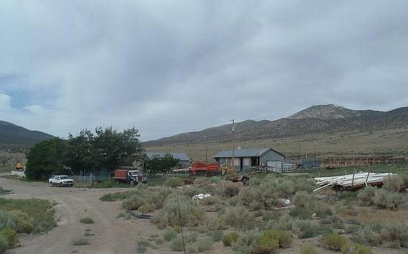
Photo 4. Lida. Sagebrush up to five feet tall within and around the community was considered a high fuel hazard.
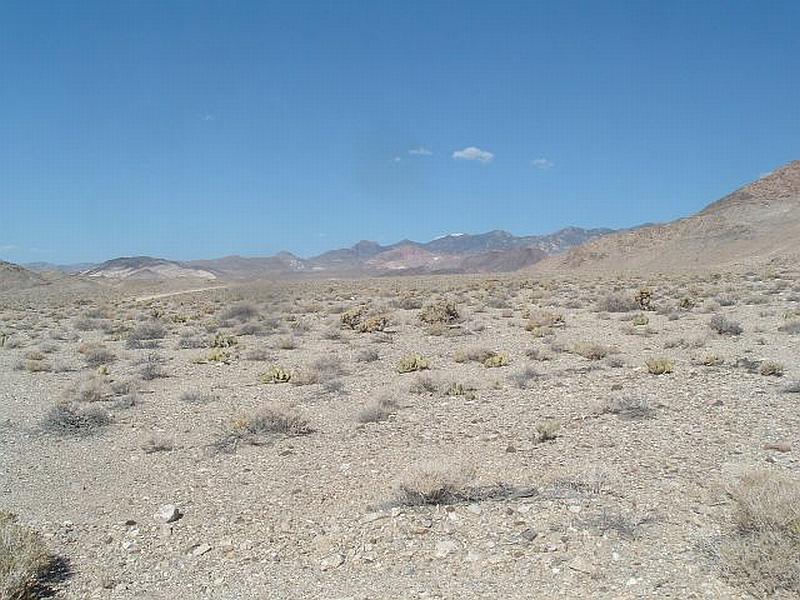
Photo 5. Silver Peak. Sparse desert shrub vegetation creates a low fuel hazard in the wildland-urban interface areas west and east of the community.