![]()
![]()
Appendix C - Photographs of Representative Fuel Types in Eureka County Communities
Representative Fuel Types
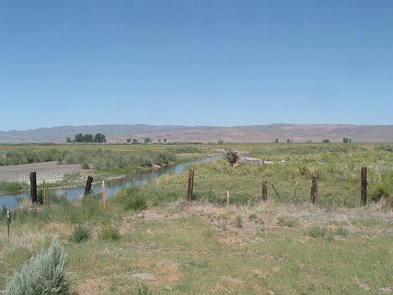
Photo 1. Riparian areas along the Humboldt River in Beowawe are either irrigated haylands or greasewood flats. Both vegetation types were considered low fuel hazards.

Photo 2. Portions of the wildland-urban interface area around Crescent Valley are characterized by low fuel hazard shadscale-budsage vegetation.
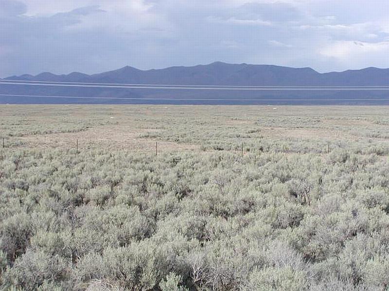
Photo 3. Fuel reduction treatments have been implemented by the Bureau of Land Management to reduce the fuel hazard in sagebrush areas of Diamond Valley. Treated areas have been mowed and reseeded. The cheatgrass component in this fuel type can increase the fuel hazard in wet years.
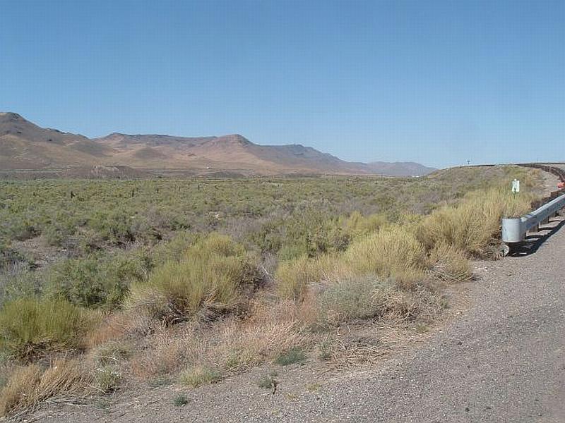
Photo 4. The greasewood shrublands around Dunphy are considered a moderate fuel hazard. Ground fuels include saltgrass, Great Basin wildrye, cheatgrass and annual mustards.
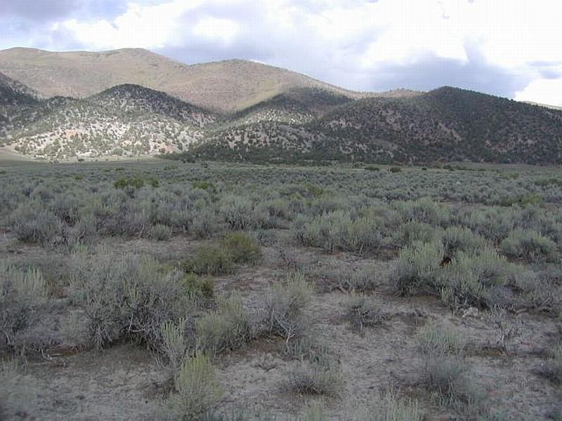
Photo 5. Areas north of the Grass Valley community that did not burn in the 1999 fire are sagebrush shrublands that are considered a moderate fuel hazard.
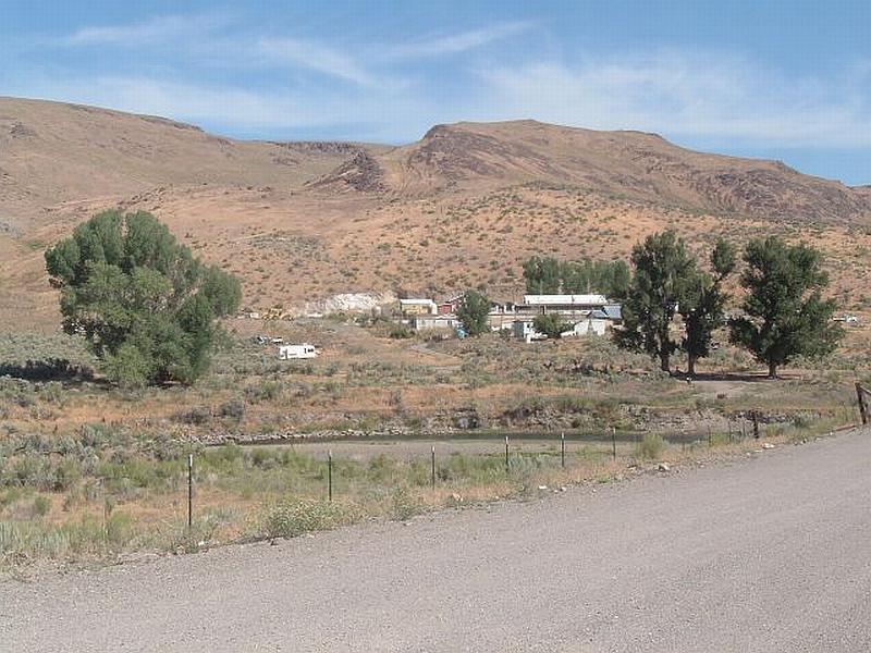
Photo 6. The area north of Palisade burned in 1999 and converted sagebrush shrublands to cheatgrass.

Photo 7. Agricultural lands in Pine Valley are used to grow hay and provide effective fuel breaks around most residences.
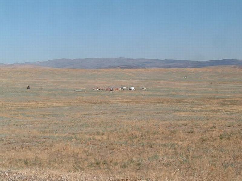
Photo 8. Nearly the entire community and interface area around Pioneer Pass burned in 1999 and converted shrublands to cheatgrass, Russian thistle, halogeton and annual mustard with a minor component of perennial grasses.