![]()
![]()
Appendix C - Photographs of Representative Fuel Types in Lander County Communities
Representative Fuel Types
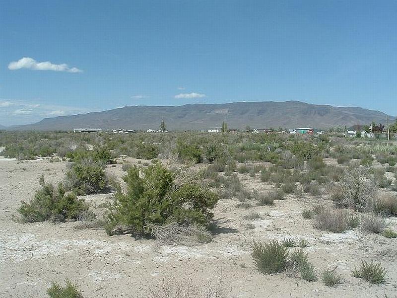
Photo 1. A primary fuel type in Lander County, salt desert shrub dominates the vegetation in most communities assessed for this report. Typical composition includes greasewood, budsage, and shadscale, with understory vegetation such as squirreltail and cheatgrass.
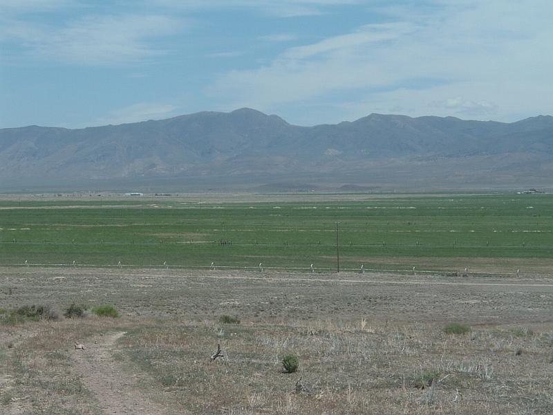
Photo 2. Rural ranch communities typically have agricultural buffer zones between wildland fuels and structures. In Lander County salt desert shrub abuts fields and pastures in Altamira Farms, Carico Valley, Grass Valley, and Smoky Valley, but the irrigated croplands protect residents from most of the hazards of wildfire. Residents need to take care that hay and equipment storage areas are protected by defensible space.
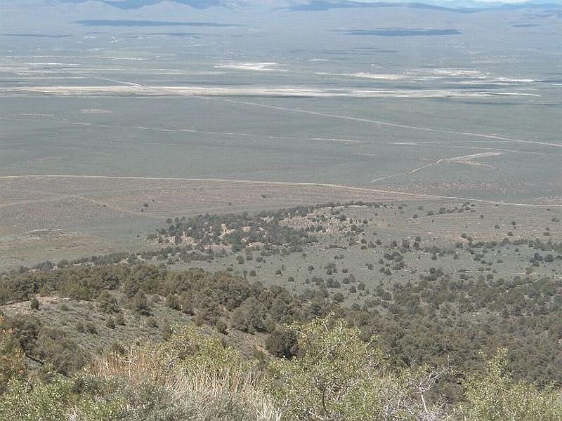
Photo 3. This photo, taken south of Austin, shows the transition of typical vegetation in Lander County between pinyon-juniper on higher elevations to sagebrush on alluvial fans, and salt desert shrub in valley bottoms.
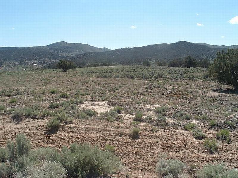
Photo 4. The BLM greenstrip project west of Austin was successful in breaking up the fuel bed continuity and creating an irregular shaped vegetative mosaic.