Appendix B - Photographs of Representative Fuel Types
Representative Fuel Types
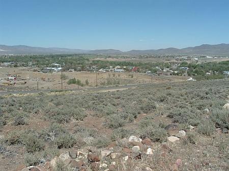
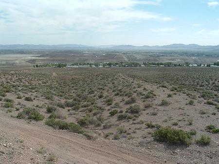
Photo 1. Fuels around Dayton are dominated by sagebrush and spiny hopsage. The fuel loads range from less than one ton to two tons per acre in the interface area around the community and are considered a low to moderate fuel hazard. The heaviest fuel concentrations along Carson River corridor.
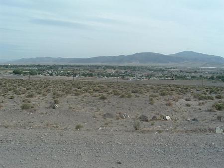
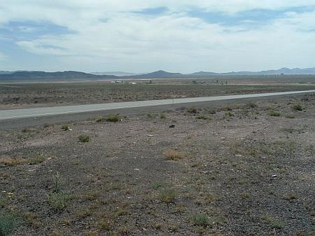
Photo 2. Low growing and widely space salt desert shrub vegetation is the predominant fuel type around Fernley and is considered a low fuel hazard.
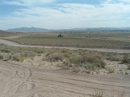
Photo 3. Fuels around Fort Churchill State Monument and Weeks are generally light with widely spaced greasewood and sagebrush as the dominant vegetation. Irrigated fields are located to the south and east of residences in Weeks.
Photo 4. Fuels around Mark Twain are considered a moderate hazard with sagebrush ranging between one and four feet in height.
Photo 5. Fuels along the west and east sides of Mason Valley are comprised of greasewood and other salt desert shrub vegetation. Fuel loads in these areas are less than one ton per acre and are considered a low fuel hazard.
Photo 6. Fuels around Mound House pose a high to extreme fuel hazard to the northwest portion of the community. Implementation of a proposed fuelbreak on the northwest side of the community is recommended to mitigate the fuel hazard to homes in the interface (shown in the background).
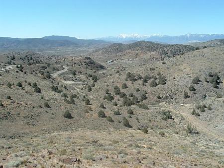
Photo 7. The burned areas east of Silver City are considered a moderate hazard due to cheatgrass production (foreground). The unburned areas on steep slopes west of the community are dominated by pinyon and juniper trees with a sagebrush understory. This condition is considered an extreme fuel hazard (background).
Photo 8. The dominant vegetation around Silver Springs is greasewood, sagebrush, and Nevada dalea. The fuel load from this vegetation type is light and considered a low fuel hazard.
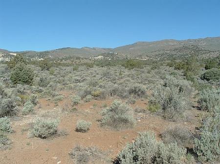
Photo 9. Dominant vegetation in the area west of the Smith Valley Community consist of sagebrush, desert peach, Mormon tea, and pinyon and juniper trees. Fuel loads in this area are estimated to range between six and ten tons per acre. A fuelbreak is proposed along the west side of the community to break up the continuity of fuels and decrease potential fire intensity near homes in this area.
Photo 10. The greasewood and Nevada dalea shrub community surrounding Stagecoach is considered a low fuel hazard.
Photo 11. The fuel hazard around Wabuska is low to moderate.
Photo 12. Example of fuels along the southwest side of Weed Heights. The greasewood dominated vegetation is considered a low fuel hazard.

