Appendix C - Photographs of Representative Fuel Types in Nye County Communities
Representative Fuel Types
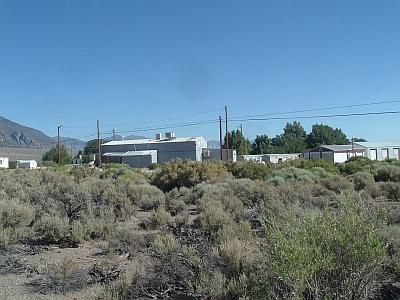
Photo 1. The vegetative fuels around Carvers consist primarily of big sagebrush, rabbitbrush, and fourwing saltbush. The fuel load in the interface area around Carvers range from two to six tons per acre and was considered a moderate to high fuel hazard.
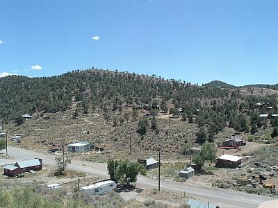
Photo 2. The vegetative fuels in the interface around Belmont, Ione, and Manhattan consists of big sagebrush, rabbitbrush, and in some areas bitterbrush intermixed with singleleaf pinyon and Utah juniper. The fuel loads in these areas range from five to twenty tons per acre and were considered moderate to extreme fuel hazards.
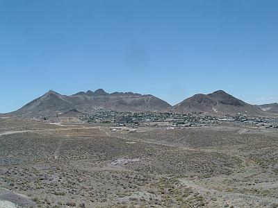
Photo 3. The vegetative fuels on the interface slopes around Tonopah consist of low sagebrush, Nevada ephedra, and rabbitbrush. The flat terrain around Tonopah, Gabbs, and Hadley (Round Mountain) are dominated by greasewood and shadscale. The fuel load in these interface areas was estimated to be less than one ton per acre and generally considered a low fuel hazard.
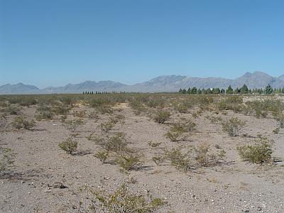
Photo 4. Creosote bush, white bursage, and shadscale dominate the interface areas near the communities of Amargosa Valley, Beatty, and the east side of Pahrump. Shrubs are generally four to five feet apart, and are considered a low fuel hazard. In wet years with high cheatgrass and red brome production, horizontal continuity in the ground fuels increases the fuel hazard.


