![]()
![]()
Table of Contents
- Title Page / County Map
Report
- Executive Summary
- 1.0 Introduction
- 2.0 Description of the County
- 3.0 Methodology
- 4.0 County-Wide Assessment Results
- 5.0 Grass Valley
- 6.0 Humboldt
- 7.0 Imlay
- 8.0 Lovelock
- 9.0 Mill City
- 10.0 Oreana
- 11.0 Rye Patch
- 12.0 Unionville
- 13.0 Pershing County Risk Assessment Conclusions
- 14.0 References
Appendices
- Appendix A - Glossary of Terms
- Appendix B - List of Persons Contacted
- Appendix C - Photographs of Representative Fuel Types in Pershing County Communities
- Appendix D - Defensible Space Guidelines and Homeowner’s Annual Checklist
- Appendix E - Firebreaks Fact Sheet
- Appendix F - NDF’s Firesafe Community Recommendations For Planning New Developments
- Appendix G - Sample Burn Permit
- Appendix H - Russian Knapweed Fact Sheet
- Appendix I - Seed Mix and Planting Specifications
- Appendix J - Photo Points and Fuel Hazard Map For Unionville High and Extreme Fuel Hazard Areas
Tables
- Table 1-1 Community Risk and Hazard Assessment Results
- Table 2-1 Land Management Acreage Within Pershing County
- Table 2-2 Summary of Fire History Data (polygons) 1980-2003
- Table 4-1 Assessment Results Summary
- Table 4-2 Pershing County Wildfire Resources, Cooperating Partners and Equipment Available
- Table 4-3 Out-of-county Wildfire Resources, Cooperating Partners and Equipment Available
- Table 5-1 Grass Valley Wildfire Resources, Cooperating Partners and Equipment Available
- Table 5-2 Priority Recommendations to Reduce Wildfire Risks in the Grass Valley Area
- Table 5-3 Grass Valley Wildfire Risk/Hazard Assessment Summary Sheet
- Table 6-1 Humboldt Wildfire Resources, Cooperating Partners and Equipment Available
- Table 6-2 Priority Recommendations to Reduce Wildfire Risks in the Humboldt Area
- Table 6-3 Humboldt Wildfire Risk/Hazard Assessment Summary Sheet
- Table 7-1 Imlay Wildfire Resources, Cooperating Partners and Equipment Available
- Table 7-2 Priority Recommendations to Reduce Wildfire Risks in the Imlay Area
- Table 7-3 Imlay Wildfire Risk/Hazard Assessment Summary Sheet
- Table 8-1 Lovelock Wildfire Resources, Cooperating Partners and Equipment Available
- Table 8-2 Priority Recommendations to Reduce Wildfire Risks in the Lovelock Area
- Table 8-3 Wildfire Risk/Hazard Assessment Summary Sheet
- Table 9-1 Mill City Wildfire Resources, Cooperating Partners and Equipment Available
- Table 9-2 Priority Recommendations to Reduce Wildfire Risks in the Mill City Area
- Table 9-3 Mill City Wildfire Risk/Hazard Assessment Summary Sheet
- Table 10-1 Oreana Wildfire Resources, Cooperating Partners and Equipment Available
- Table 10-2 Priority Recommendations to Reduce Wildfire Hazards in the Oreana Area
- Table 10-3 Oreana Wildfire Risk/Hazard Assessment Summary Sheet
- Table 11-1 Rye Patch Wildfire Resources, Cooperating Partners and Equipment Available
- Table 11-2 Priority Recommendations to Reduce Wildfire Risks in the Rye Patch Area
- Table 11-3 Rye Patch Wildfire Risk/Hazard Assessment Summary Sheet
- Table 12-1 Unionville Wildfire Resources, Cooperating Partners and Equipment Available
- Table 12-2 Priority Recommendations to Reduce Wildfire Risks in the Unionville Area
- Table 12-3 Unionville Wildfire Risk/Hazard Assessment Summary Sheet
Figures
Figure 2-1
Community Locations and Land Ownership, Pershing County, Nevada

Figure 2-2
Fire History, Ignition Risks and Potentially At-Risk Resources

Figure 5-1
Suppression Resources and Fire History For the Community of Grass Valley
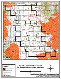
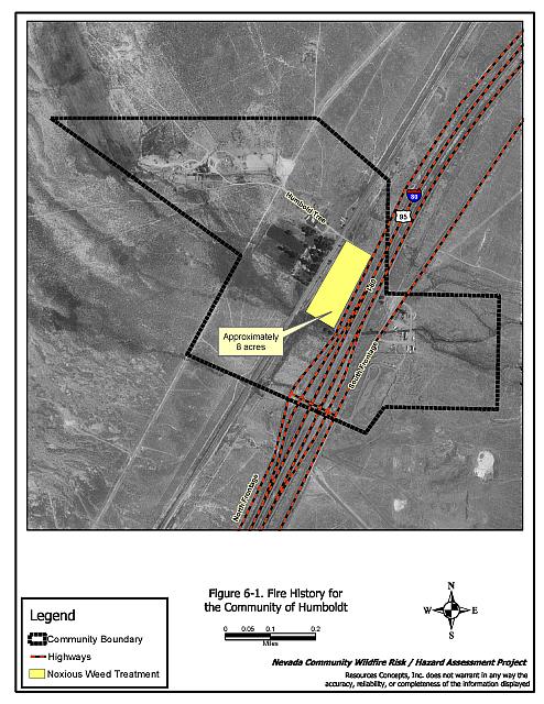
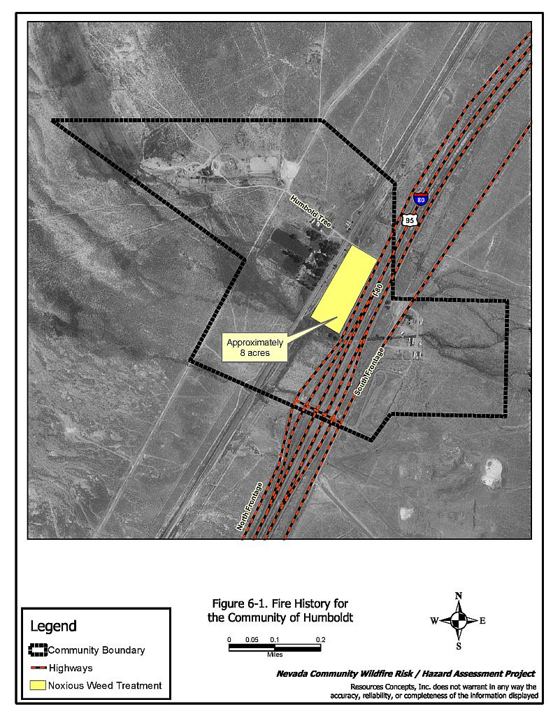
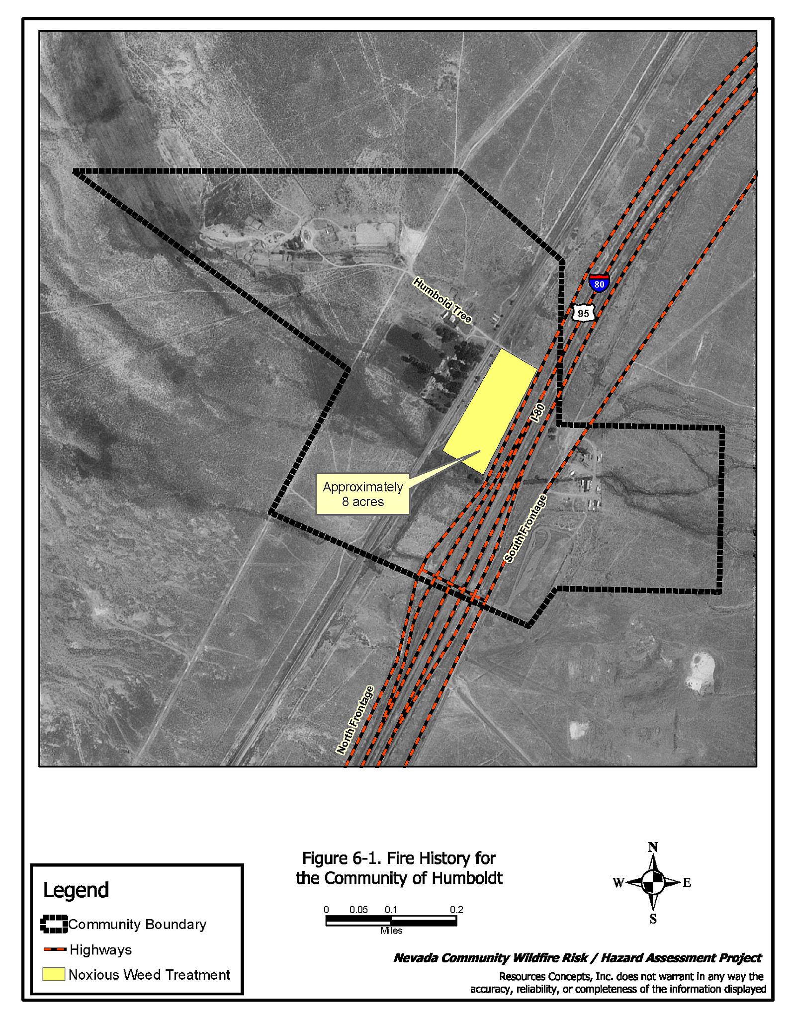
Figure 6-1
Fire History For the Community of Humboldt
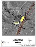
Figure 7-1
Suppression Resources, Critical Community Features, and Fire History For the Community of Imlay

Figure 8-1
Suppression Resources, Critical Community Features, and Fire History For the Community of Lovelock
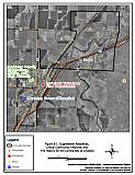
Figure 9-1
Fire History For the Community of Mill City
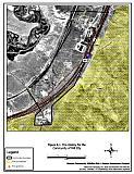
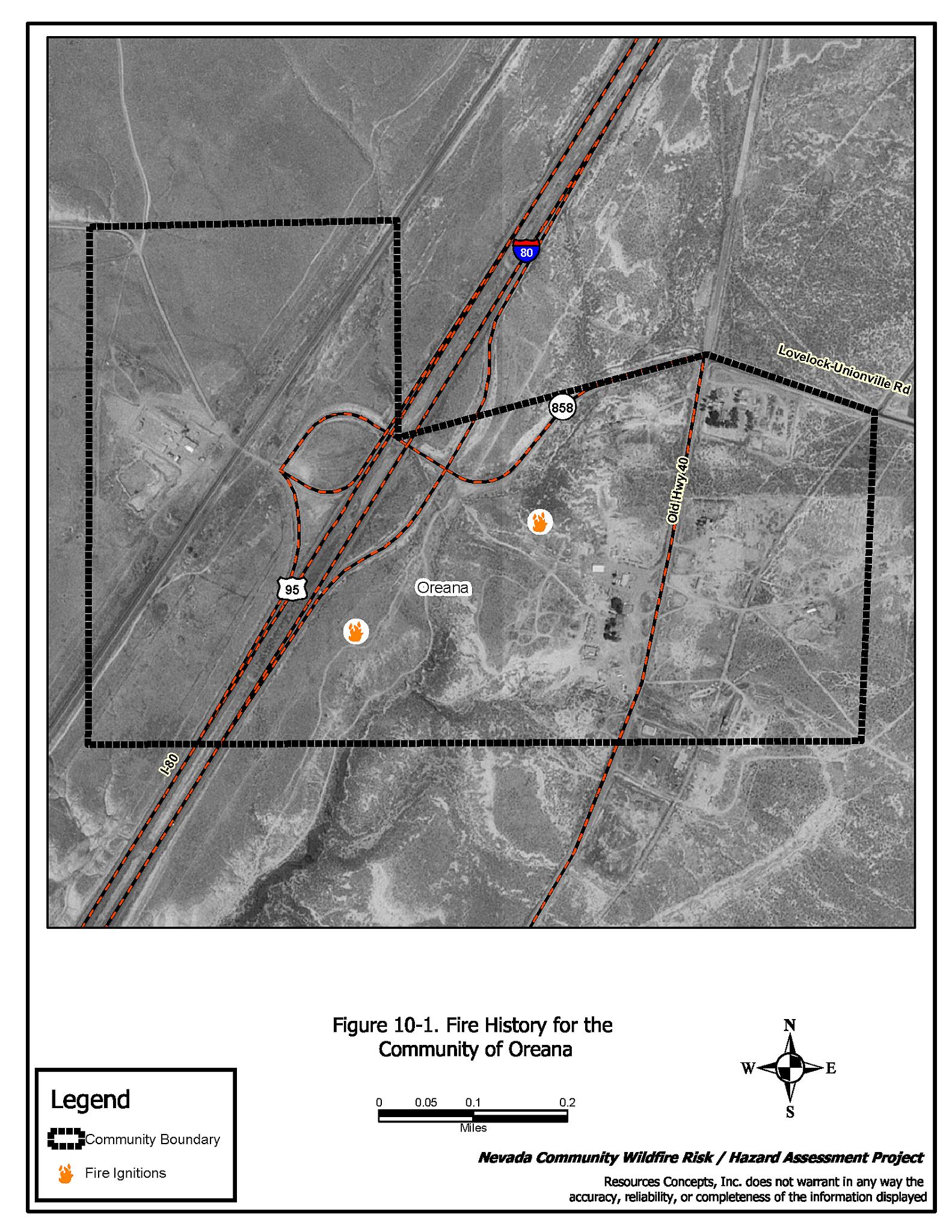
Figure 10-1
Fire History For the Community of Oreana
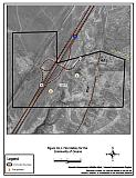
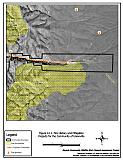
Figure 11-1
Suppression Resources and Fire History For the Community of Rye Patch
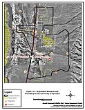
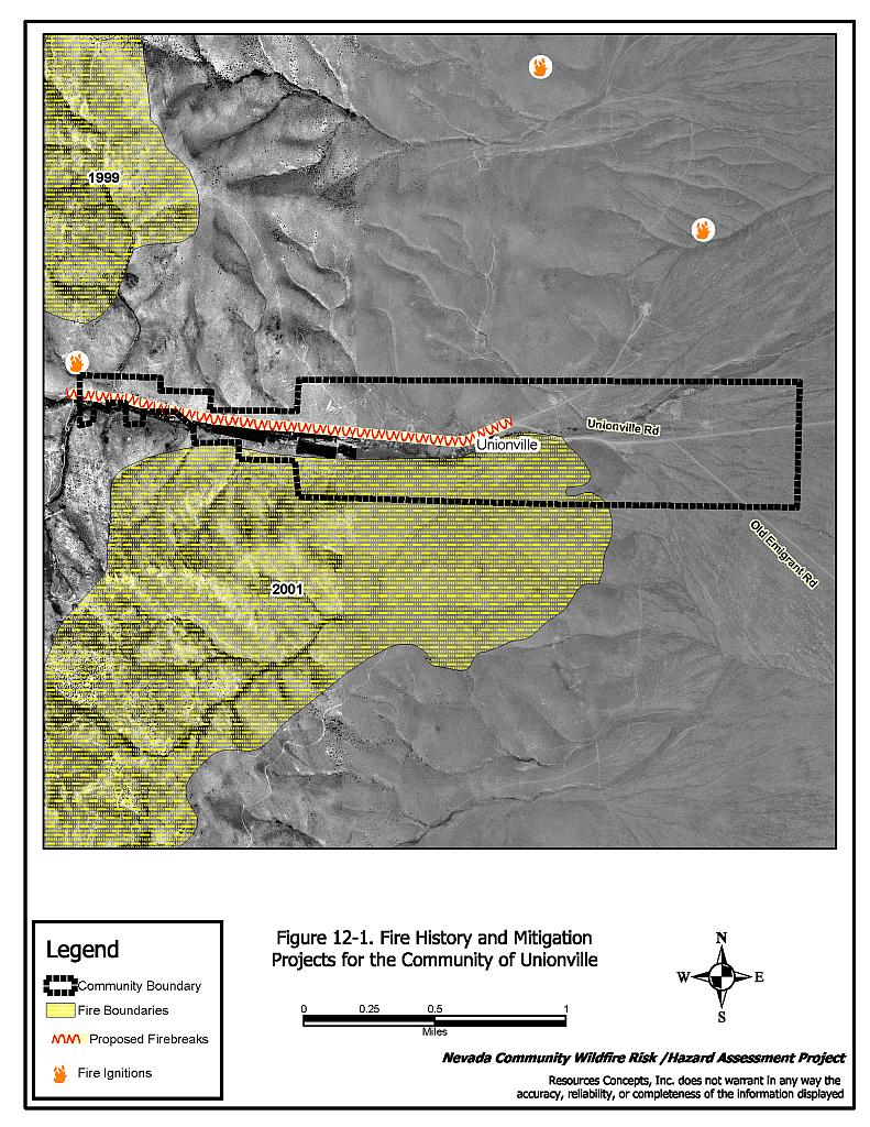
Figure 12-1
Fire History and Mitigation Projects For the Community of Unionville