Table of Contents
- TITLE PAGE
Report
- EXECUTIVE SUMMARY
- 1.0 INTRODUCTION
- 2.0 METHODOLOGY
- 3.0 DESCRIPTION OF THE TAHOE-DOUGLAS FIRE PROTECTION DISTRICT
- 3.1 Demographics, Location, Topography, And Climatic Data
- 3.2 Douglas County FEMA Disaster Plan
- 3.3 Wildfire History
- 3.4 Fire Ecology
- 3.5 Natural Resources And Other Features Potentially At Risk
- 3.6 Previous Fire Hazard Reduction Projects
- 3.7 Environmental Regulations Related To Vegetation Removal In The Lake Tahoe Basin
- 4.0 DISTRICT-WIDE ASSESSMENT RESULTS
- 5.0 CAVE ROCK/SKYLAND
- 6.0 ELK POINT/ZEPHYR HEIGHTS/ROUND HILL
- 7.0 GLENBROOK
- 8.0 KINGSBURY
- 9.0 LOGAN SHOALS
- 10.0 STATELINE
- 11.0 RECOMMENDED HAZARD MITIGATION PROJECTS
- 11.1 Hazard Mitigation Treatments
- 11.2 Fuelbreaks And Fuel Reduction Treatments
- 11.3 Project Worksheets
- Cave Rock/Skyland Unit 1
- Cave Rock/Skyland Unit 2
- Elk Point/Zephyr Heights/Round Hill Unit 1
- Elk Point/Zephyr Heights/Round Hill Unit 2
- Elk Point/Zephyr Heights/Round Hill Unit 3
- Elk Point/Zephyr Heights/Round Hill Unit 4
- Glenbrook Unit 1
- Kingsbury Unit 1
- Kingsbury Unit 2
- Kingsbury Unit 3
- Kingsbury Unit 4
- Logan Shoals Unit 1
- Stateline Unit 1
- Stateline Unit 2
- Stateline Unit 3
- 12.0 CONCLUSIONS
- 13.0 REFERENCES
Appendices
- APPENDIX A - List of Persons Contacted and Calendar of Public Meetings
- APPENDIX B - Glossary of Terms Used in Wildfire Management
- APPENDIX C - TRPA/NLTFPD Memorandum of Understanding (MOU)
- APPENDIX D - Fire Protection District Residential Defensible Space Checklist and Explanation
- APPENDIX E - NLTFPD Sample Burn Permit
- APPENDIX F - Sample Application for Tree Removal Permit
Tables
- Table 1-1 Community Risk and Hazard Assessment Results
- Table 1-2 Summary of Recommended Hazard Mitigation Project Costs
- Table 3-1 Land Management Acreage Within TDFPD
- Table 3-2 Federally Listed Species Within the Lake Tahoe Basin
- Table 4-1 Typical Wildfire Resources, Cooperating Partners and Equipment Available for an Initial Attack
- Table 5-1 Cave Rock/Skyland Wildfire Hazard Assessment Summary Sheet
- Table 6-1 Elk Point/Round Hill/Zephyr Heights Wildfire Hazard Assessment Summary Sheet
- Table 7-1 Glenbrook Wildfire Hazard Assessment Summary Sheet
- Table 8-1 Kingsbury Wildfire Hazard Assessment Summary Sheet
- Table 9-1 Logan Shoals Hazard Assessment Summary
- Table 10-1 Stateline Wildfire Hazard Assessment Summary Sheet
- Table 10-2 Chimney Rock Neighborhood Wildfire Hazard Assessment Summary Sheet
- Table 11-1 Thinning Guide for Achieving 80 and 100 Square Feet of Basal Area per Acre
- Table 11-2 Summary of Recommended Hazard Mitigation Project Costs
- Table 12-1 Community Risk and Hazard Assessment Results Summary
Figures
Figure 1-1
Community Locations and Land Ownership, Tahoe-Douglas Fire Protection District
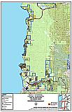
Figure 3-1
Fire History and Potentially At-Risk Resources, Tahoe-Douglas Fire Protection District
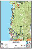
Figure 3-2
Previous Wildfire Hazard Mitigation Projects, Tahoe-Douglas Fire Protection District
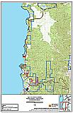
Figure 4-1
Wildfire Hazard Classifications, Tahoe-Douglas Fire Protection District
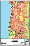
Figure 4-2
Communication Diagram for Wildfire Suppression, Tahoe-Douglas Fire Protection District
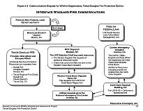
Figure 5-1
Communities of Cave Rock/Skyland
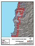
Figure 6-1
Communities of Elk Point/Zephyr Heights/Round Hill
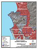
Figure 7-1
Community of Glenbrook
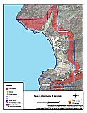
Figure 8-1
Community of Kingsbury
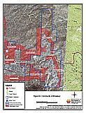
Figure 9-1
Community of Logan Shoals
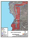
Figure 10-1
Community of Stateline
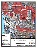
Figure 10-2
Stateline - Chimney Rock Neighborhood
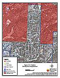
Figure 11-1
Proposed Wildfire Mitigation Projects for the Tahoe-Douglas Fire Protection District
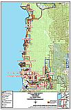
Figure 11-2
Proposed Prescription Area Cave Rock / Skyland Unit 1
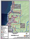
Figure 11-3
Proposed Prescription Area Cave Rock / Skyland Unit 2
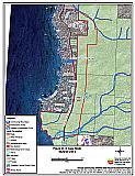
Figure 11-4
Proposed Prescription Area Elk Point/Zephyr Heights/Round Hill Unit 1
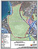
Figure 11-5
Proposed Prescription Area Elk Point/Zephyr Heights/Round Hill Unit 2
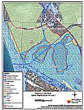
Figure 11-6
Proposed Prescription Area Elk Point/Zephyr Heights/Round Hill Unit 3
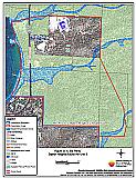
Figure 11-7
Proposed Prescription Area Elk Point/Zephyr Heights/Round Hill Unit 4
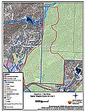
Figure 11-8
Proposed Prescription Area Glenbrook Unit 1
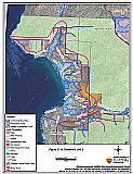
Figure 11-9
Proposed Prescription Area Kingsbury Unit 1
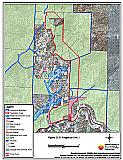
Figure 11-10
Proposed Prescription Area Kingsbury Unit 2
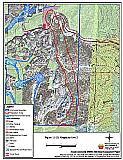
Figure 11-11
Proposed Prescription Area Kingsbury Unit 3
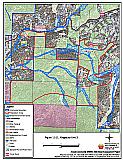
Figure 11-12
Proposed Prescription Area Kingsbury Unit 4
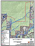
Figure 11-13
Proposed Prescription Area Logan Shoals Unit 1
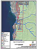
Figure 11-14
Proposed Prescription Area Stateline Unit 1
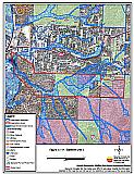
Figure 11-15
Proposed Prescription Area Stateline Unit 2
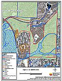
Figure 11-16
Proposed Prescription Area Stateline Unit 3
